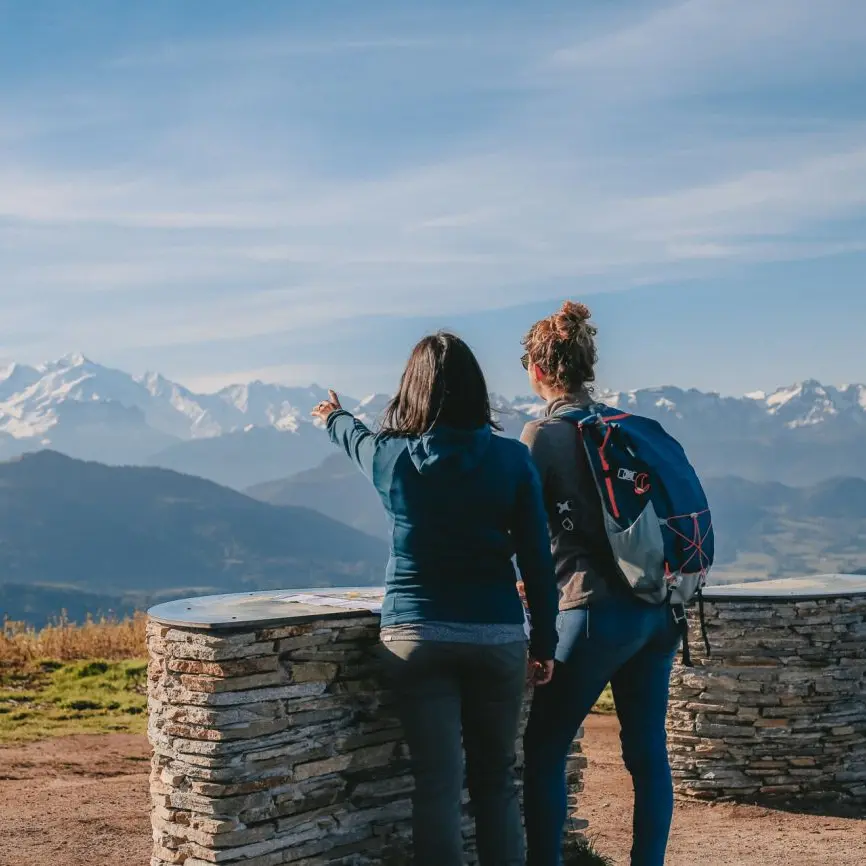
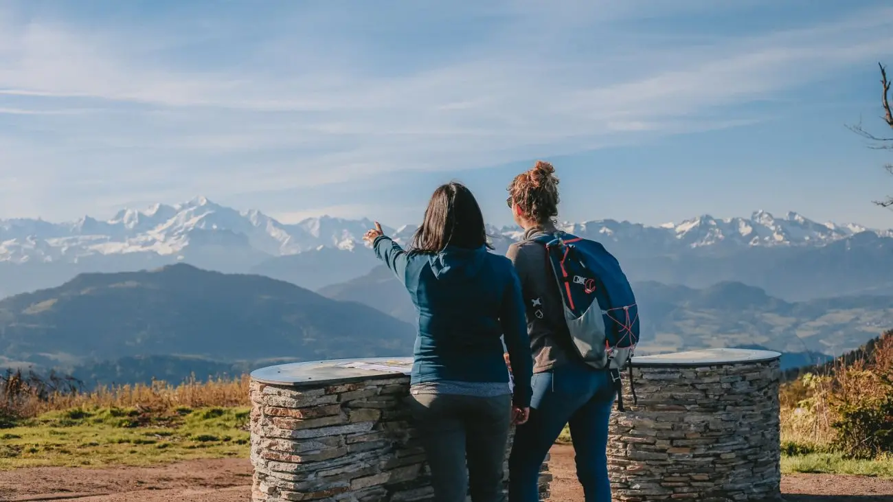
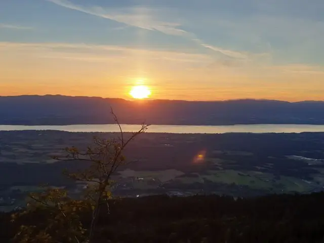
1Orientation table et viewpoint: Le Signal des Voirons
Orientation table with panoramic view of Lac Léman and the Salève.
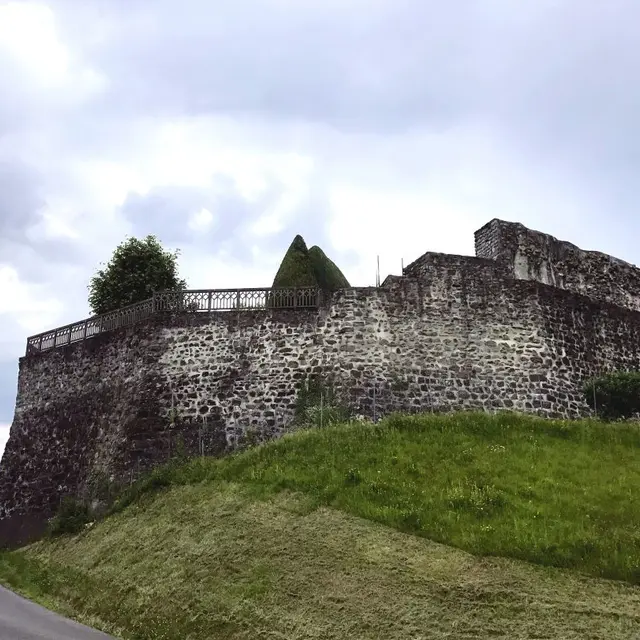
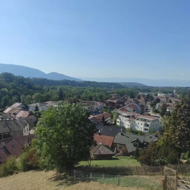
2Bourg de Haute Bonne
Take the footpath up the Maxime ramp and you will reach this village imbued with a typical and authentic atmosphere, with Saint Nicolas Church at its centre. It was built at the beginning of the 13th century by Aymon, the Sire of Faucigny.
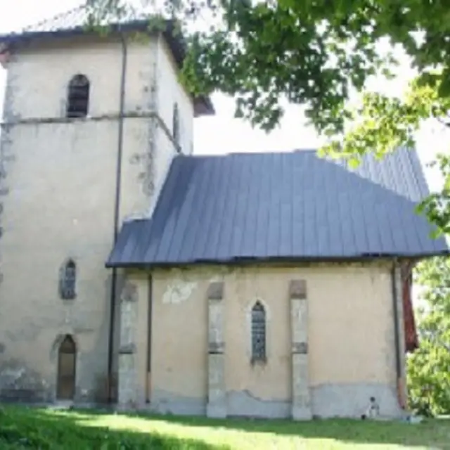
3Notre-Dame des Voirons Chapel
Perched on the ridge between earth and sky, this Gothic chapel has all the necessary components to be a perfect place for contemplation.<br/>The chapel of Notre Dame des Voirons was built in the 15th century, with its back to a rock that climbs higher still and is the source of a little spring. This gothic chapel has all the right elements to make it a place for contemplation.
Located 10 minutes on foot from the monastery, you can reach the recently restored Notre-Dame des Voirons, whose interior has recently been restored, via a woodland path. The chapel is worth the detour in itself, not just for its decor, which is exemplary in its rustic restraint, nor for its attendance, as it is rarely visited. It is worth the visit because, unlike many other religious buildings, this chapel has soul.
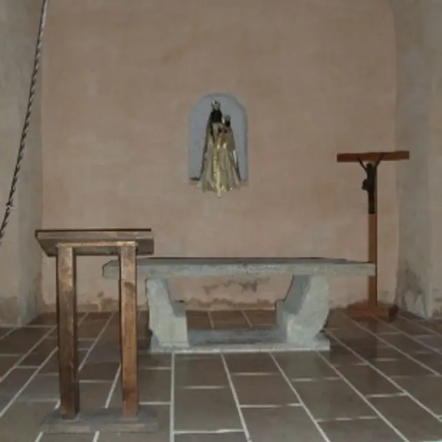
There are no ornaments or paintings. It is simply decorated with a statue of the Virgin Mary (Black Madonna, of course), a plain, stone altar and basic furnishings. This simple rectangular stone Gothic chapel measures around 15 metres in length and provides a serene space for those in search of silence and inner peace.
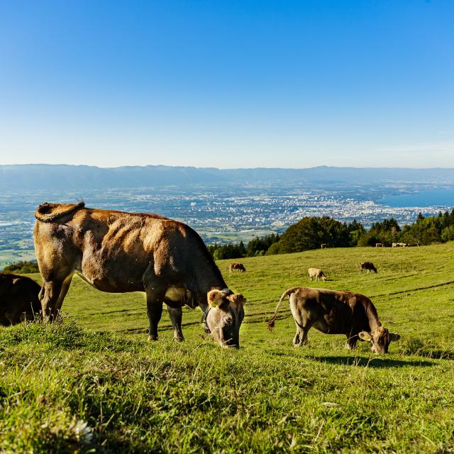
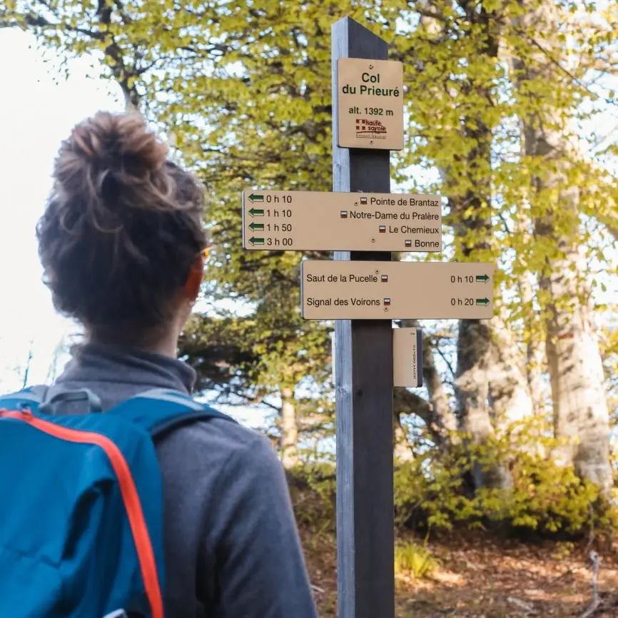
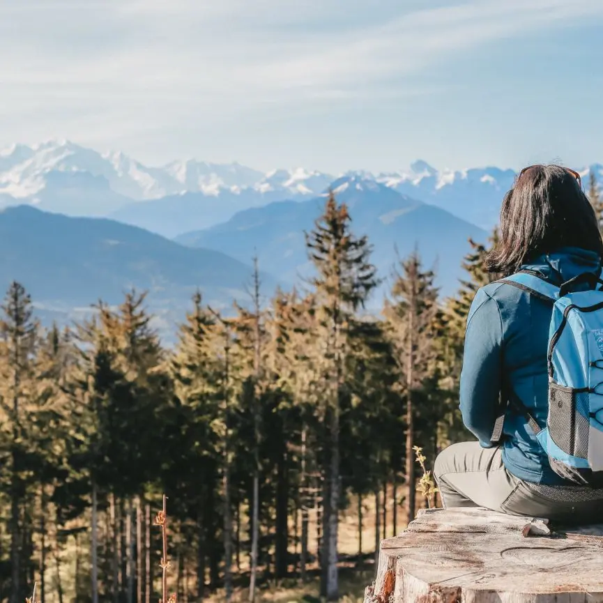
4Les Voirons
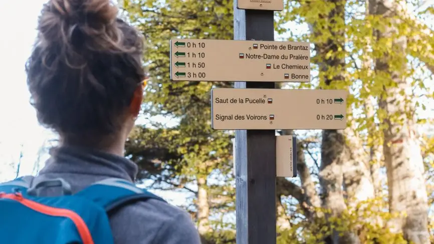
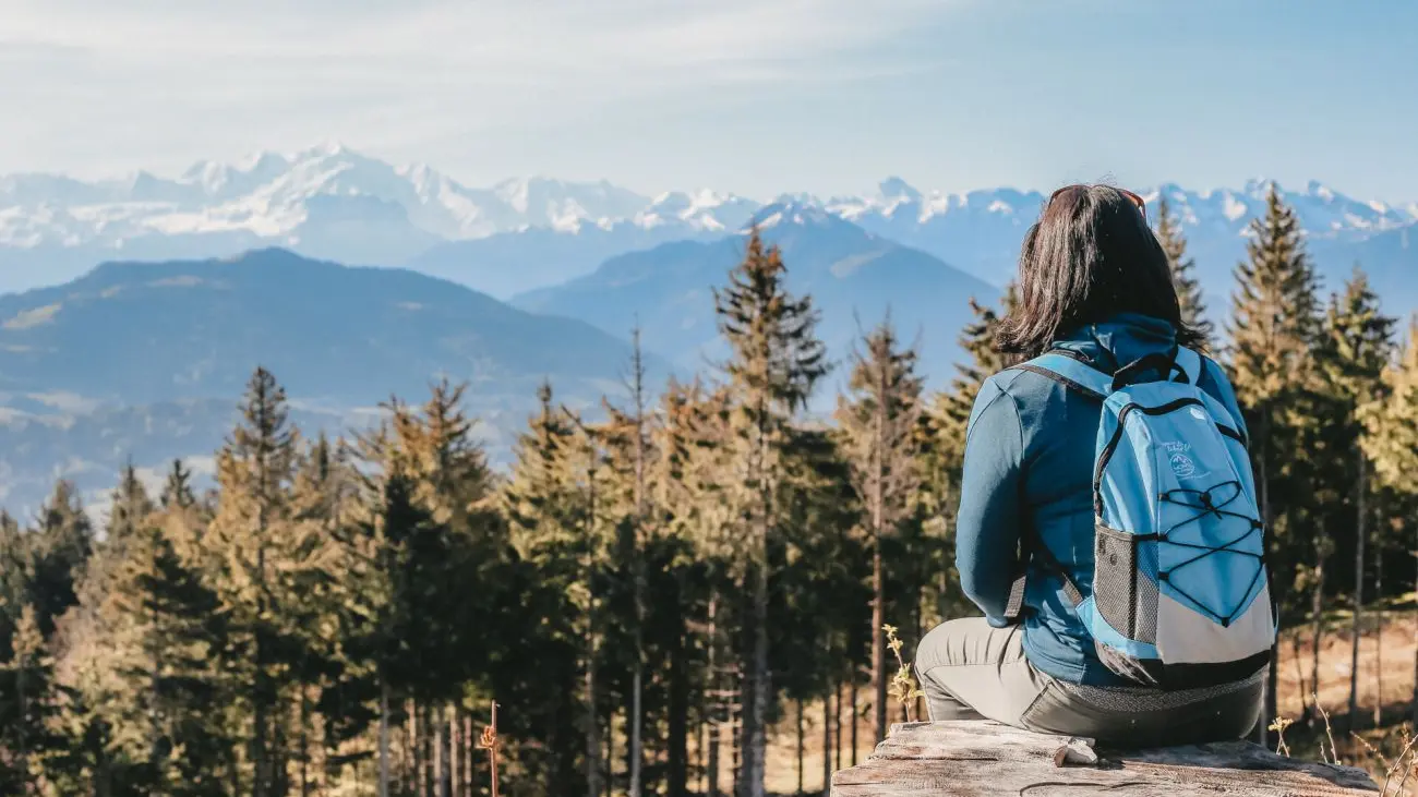
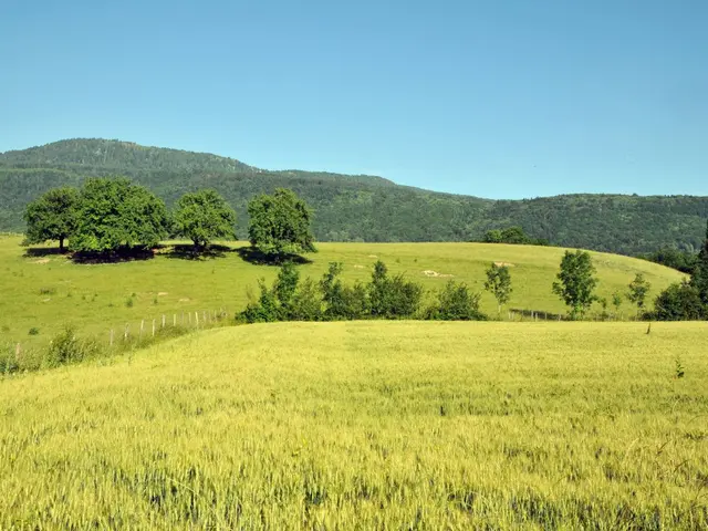
From the Voirons crest (altitude 1 480m), you can enjoy a panoramic view across Lake Geneva, the Vallée Verte, the Giffre mountains, the Aravis and Mont-Blanc.<br/>Take a family walk along the Balcons du Léman long-distance path, which also takes you all around the lake.
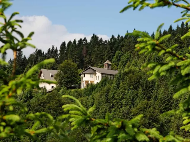
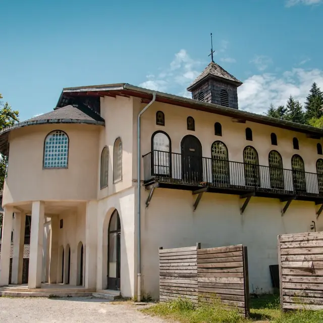
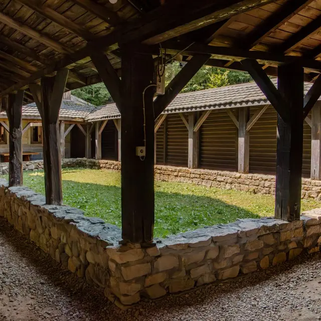
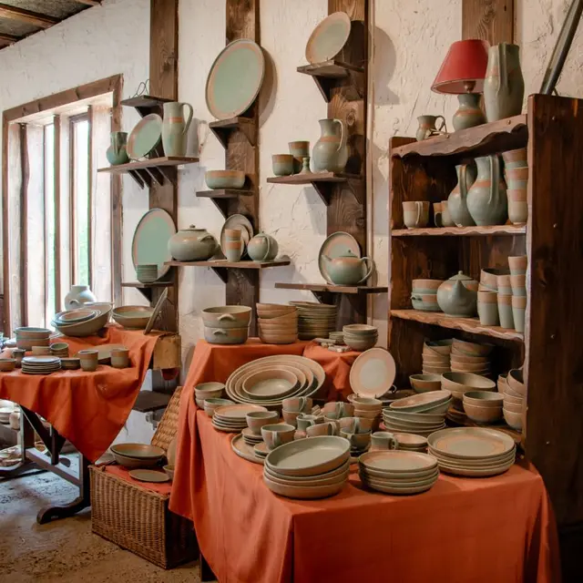
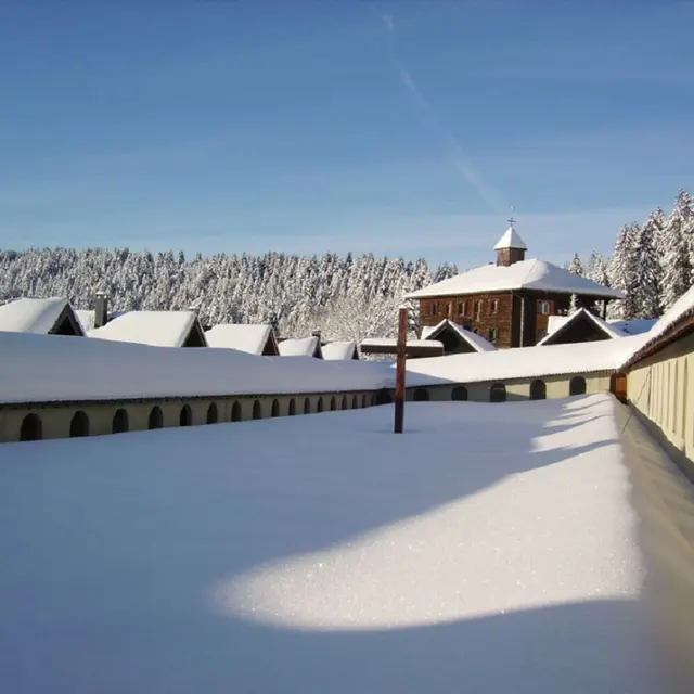
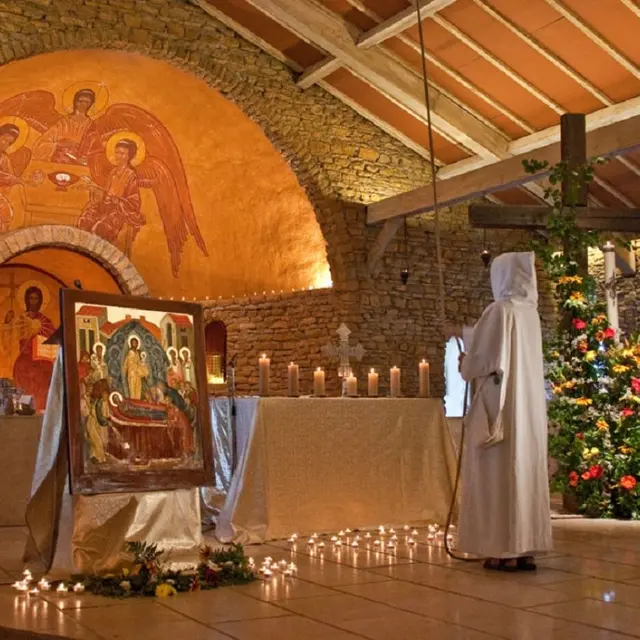
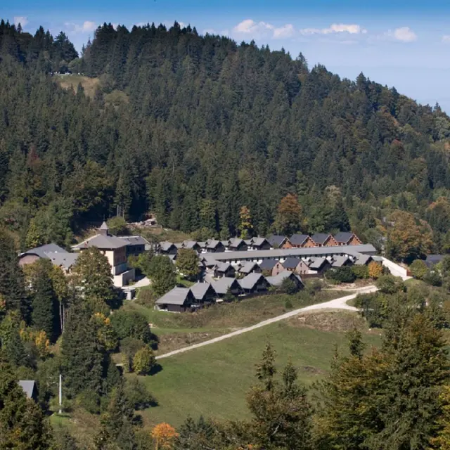
5Notre-Dame des Voirons Monastery
At the summit of the magnificent Monts Voirons with views of Mont-Blanc, come and visit the Notre Dame des Voirons Monastery, the chapel and Petites soeurs de Bethléem's art studios.<br/>Les Voirons was already a cult site for the Allobroges and Romans. Lord Louis de Langin founded the first chapel here in the 15th century, housing the black Virgin and called it Notre Dame des Voirons. The chapel then became a pilgrim site and welcomed Saint François de Sales in 1595. Following a fire, the black Virgin is now kept in the Boëge Church. In 1967 the first Soeurs de Béthléem nuns came to Les Voirons. There are now 100 of them.
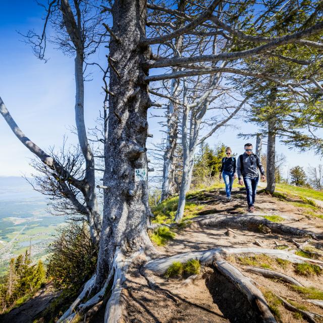
6Signal des Voirons
Summit of a forest walk which is accessible even for very young children. When the weather is good, the whole valley is all yours.<br/>Enjoy panoramic 360° views from the Signal des Voirons with the Léman and Jura on one side and Mont Blanc, the Môle and the Chablais peaks to the other side.