See photos (18)

Sentier pédestre : à la découverte du Plateau des Bornes

Walking/pedestrian in Menthonnex-en-Bornes
8.6 km
Walking/pedestrian
2h 5min
Medium
  • The plateau des Bornes offers a 360-degree panorama: Salève, Jura, Aravis, Mont-Blanc, Chablais. A rural route in the heart of a mountainous setting, whose colors change with the passing hours.
    A remarkable natural heritage of the Haute-Savoie department, this hike on the Plateau des Bornes will enable you to discover all the natural riches of this area of the Alpine Piedmont.

    Facing the superb Aravis mountain range, this hike offers a magnificent 360-degree panorama all the way to Mont...
    The plateau des Bornes offers a 360-degree panorama: Salève, Jura, Aravis, Mont-Blanc, Chablais. A rural route in the heart of a mountainous setting, whose colors change with the passing hours.
    A remarkable natural heritage of the Haute-Savoie department, this hike on the Plateau des Bornes will enable you to discover all the natural riches of this area of the Alpine Piedmont.

    Facing the superb Aravis mountain range, this hike offers a magnificent 360-degree panorama all the way to Mont Blanc. Along the way, take the time to discover the Mouille-Marin pond, home to numerous protected animal and plant species.

    This hike will delight young and old alike for an easy, family-friendly stroll through an area rich in exceptional natural heritage.

    Don't forget your picnic for a lunch with a view when you arrive at Crêt de la Gouette, the highest point of your walk.
  • Departure
    Menthonnex-en-Bornes
  • Difference in height
    217 m
  • Plain text period
    From 15/04 to 01/11.
    Please check with the Tourist Office beforehand for current access conditions.

    Subject to favorable snow and weather conditions.
  • Documentation
    GPX / KML files allow you to export the trail of your hike to your GPS (or other navigation tool)
  • Accepted customers
    • Individuals
Points of interest
1 Le Plateau des Bornes
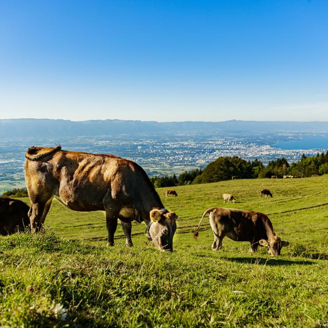
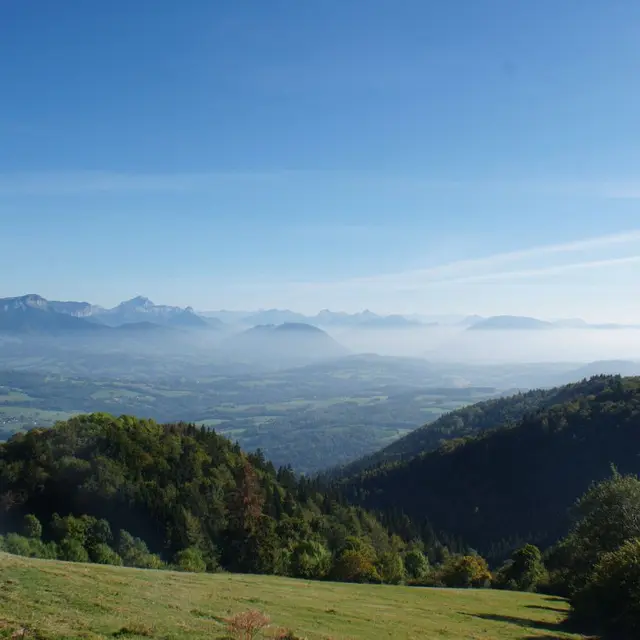
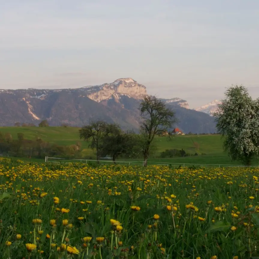
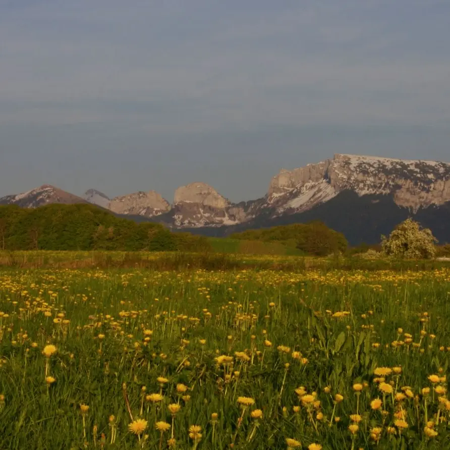
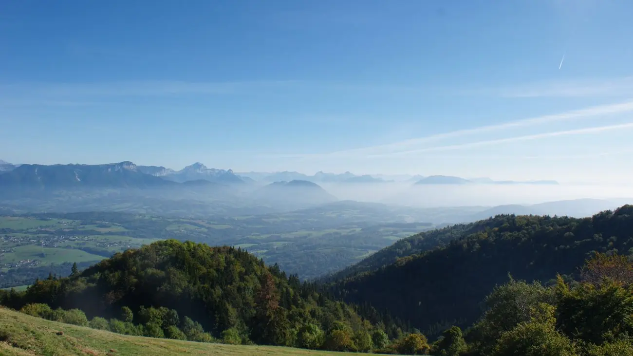
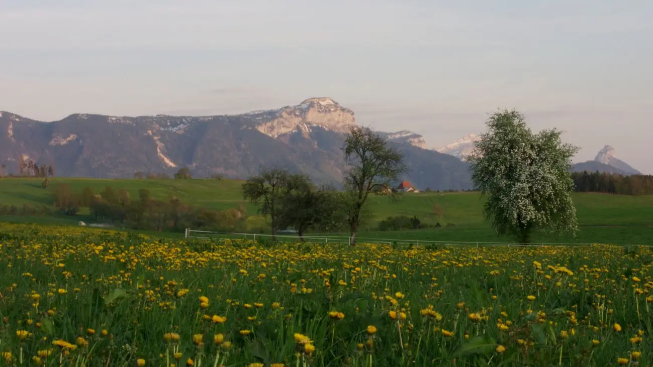
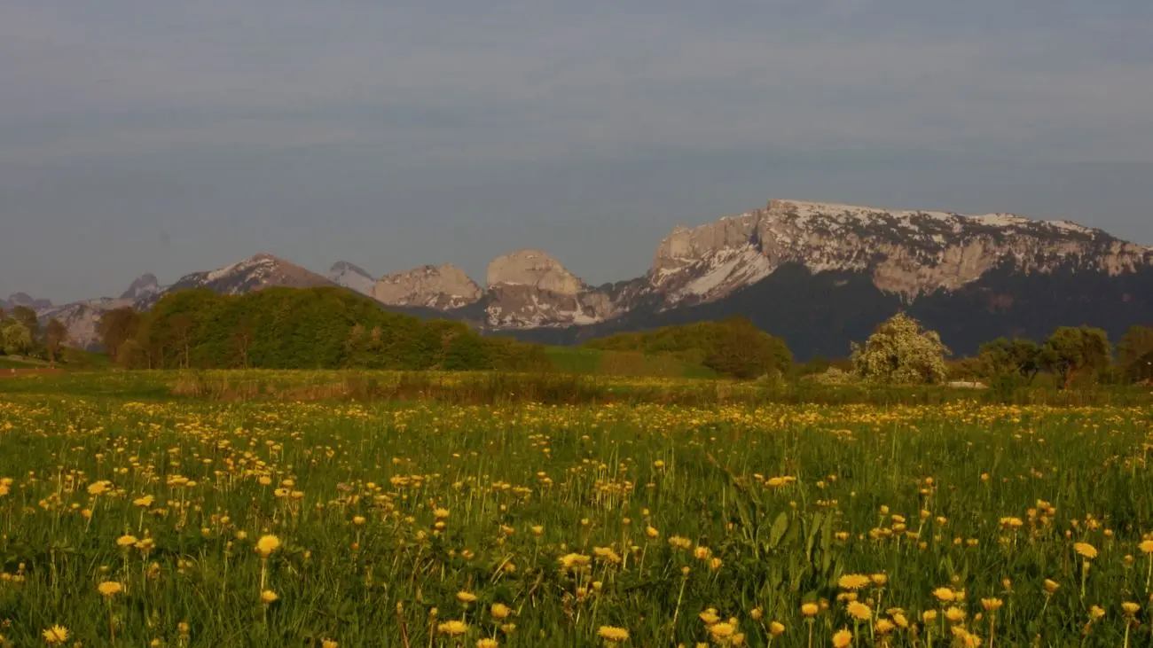
Facing the superb Aravis mountain range, on the foothills of the Salève, discover a magnificent panorama all the way to the Mont-Blanc chain, on the ancient Roman road linking Geneva to Annecy.<br/>It is a piedmont of the Northern Alps, below the Bauges mountains, deeply carved by the tributaries of the Arve, Fier and Usses streams.
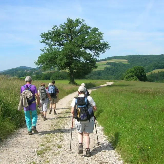
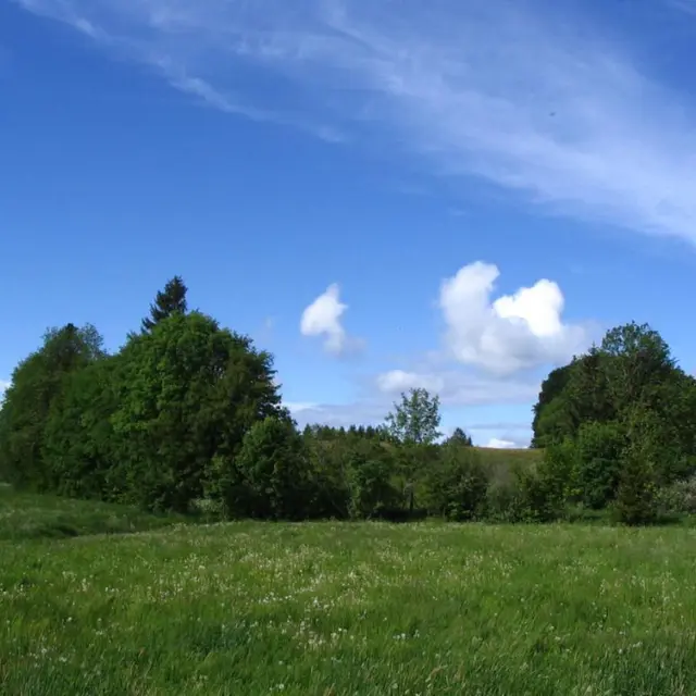
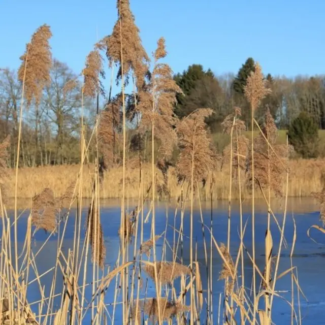
Take advantage of this haven of peace, where bucolic trails criss-cross this ancient glacial footprint, dotted with charming slate-roofed villages and wild ponds, where enthusiasts will discover protected flora such as superb carnation, Swiss woodruff, Loesel's liparis and Marsh lousewort.
Along the way, you'll be able to admire the flight of the common snipe, the palucidole warbler or the crested lapwing, but you'll have to make a point of nesting in an observation hut on the Marquis pond. Don't forget your binoculars...
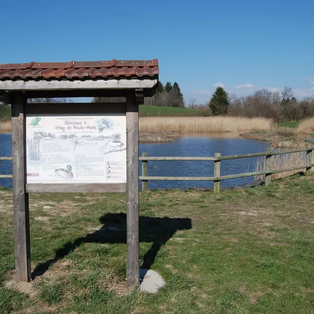
0.jpg 1.jpg
2 Étang de Mouille-Marin (pond)
The plateau des Bornes is dotted with marsh-type wetlands, which are one of the region's richest assets. The Etang de Mouille Marin is one of the best-known marshes, and is home to numerous protected plant and animal species.
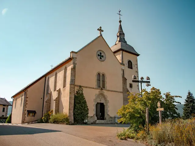
0.jpg 1.jpg
3 Menthonnex-en-Bornes church
The Saint-Laurent church is located in the center of Menthonnex-en-Bornes.
0.jpg
217 meters of difference in height
  • Maximum altitude : 955 m
  • Minimum altitude : 770 m
  • Total positive elevation : 217 m
  • Total negative elevation : -212 m
  • Max positive elevation : 127 m
  • Min positive elevation : -126 m
Close
Page suggestions
Filter search
Filter search
  • General public
  • Business website
  • Partners
Page types
  • All
  • Articles
  • Agenda
  • Lists
Aucun résultat